Drone filming in Nepal sits at the intersection of two separate approval questions, and confusing them is the single most common reason a production loses time. The first question is whether your project holds a general film permit that covers your production activity in the country. The second question is whether your specific aerial work is permitted, which depends on the aircraft, the operator, the exact locations you intend to overfly, and the airspace above them. A production can hold a valid filming permit and still have no authorisation to fly, because aerial operations are assessed on their own terms and often involve different considerations from ground filming.
Film Permits Nepal is an independent private production-support service based in Kathmandu. We are not a government office and we do not issue permits, grant drone permission, guarantee airspace access, or clear equipment through customs. What we do is help foreign and domestic productions prepare, organise, and present the documentation that an aerial filming request typically depends on, so that when your materials reach the relevant authorities they are complete, internally consistent, and easy to assess. This page explains how drone approvals are usually approached, what information about the aircraft and the operator tends to be needed, how location sensitivity and airport proximity change the picture, and how imported drones interact with customs planning.
Throughout, we describe general workflow and preparation rather than asserting specific fees, processing durations, or a single named issuing authority as settled fact. Which authorities apply to your mission depends on your locations and activities, and the exact requirements are always confirmed against current official sources during your review. Treat this page as planning guidance, not as a regulatory ruling.
Drone permission is separate from your film permit
The most important idea to carry into planning is that holding a film permit does not, by itself, authorise you to fly a drone. Ground filming and aerial filming are commonly assessed as distinct activities, potentially by different offices, using different criteria. A general film permit typically confirms that your production is recognised and that your intended filming activity is understood. Aerial operations add a further layer, because a flying camera raises questions about airspace, safety, privacy, and the sensitivity of what lies beneath the flight path. Those questions do not disappear simply because your paperwork for ground filming is in order.
This separation has practical consequences for scheduling. A production that assumes its drone work is automatically covered may arrive on location expecting to fly and discover that the aerial component was never formally addressed. Because aerial requests can involve airspace considerations and location-specific sensitivities, they often benefit from being raised early rather than treated as a same-day add-on.
When we prepare a mission, we look at both layers together. We check that your underlying film permit position is coherent, and we assemble the additional aircraft, operator, and location material that an aerial request typically depends on. We never assert that one approval guarantees the other, and we do not promise that drone permission will be granted. What applies to your particular flights depends on where you intend to fly and what is beneath you, and those specifics are confirmed against current official sources as part of your review.
Keeping the two questions distinct also protects your budget. It lets you plan for the possibility that ground filming proceeds while aerial work is still being confirmed, so that a delay on the drone side does not strand your whole schedule.
Aircraft information the request usually depends on
Every aerial request begins with a clear, honest description of the aircraft you intend to operate. Authorities and location custodians generally want to understand what is going to be in the air above them, and a vague or inconsistent aircraft description is a frequent cause of avoidable back-and-forth. Before anything else, we build a precise inventory of each drone in your kit.
For each aircraft, the details that typically matter include the manufacturer and model, the serial number, the take-off weight, the physical dimensions, and the way the aircraft is powered. The camera or sensor payload is also relevant, because what the aircraft can record is part of what is being assessed. If a drone carries interchangeable payloads, each configuration you intend to use is worth listing rather than assuming one entry covers all cases.
Consistency across your documents is as important as the details themselves. The aircraft described in your flight request should match the aircraft described in your equipment list, your insurance documentation, and, where relevant, your customs paperwork. A serial number that appears one way in one document and another way elsewhere invites questions that slow everything down. Part of our review is simply reconciling these entries so that a reader sees a single, coherent account of the same aircraft in every place it appears.
- Manufacturer, model, and serial number for each aircraft
- Take-off weight and physical dimensions
- Power source and battery configuration
- Camera or sensor payload for each configuration you will use
- Cross-checking that the same aircraft is described identically across all documents
Operator information and who is actually flying
Alongside the aircraft, aerial requests generally focus on the person at the controls. A drone is only as safe as its operator, so the individual flying, and their experience, tend to form part of what is assessed. Preparing this material carefully signals that your production takes aerial safety seriously.
The operator details that commonly matter include the pilot's full identity, their nationality and passport information for foreign crew, and any pilot qualifications, certificates, or logged experience they hold. Where a production travels with more than one pilot, each person who may take the controls should be documented rather than only the lead. If a local operator is engaged instead of a travelling pilot, their details take the place of the foreign pilot's, and the working arrangement between your production and that operator becomes part of the picture.
There is an important honesty boundary here. We help you compile and present genuine operator credentials. We never invent, embellish, or imply qualifications an operator does not hold, and we do not assert that any particular certificate satisfies a specific requirement unless that has been confirmed against current official sources. Whether a given qualification is recognised for your mission depends on the applicable rules at the time you fly.
We also help you think through practical operator questions that often get overlooked, such as who flies if the primary pilot is unavailable, how the operator coordinates with your ground crew, and how the operator's details align with the insurance you carry. Getting these settled before you travel reduces the chance of a location-day surprise.
Registration considerations for your aircraft
Many jurisdictions expect drones above a certain threshold to be registered or otherwise recorded before they operate, and productions frequently ask whether their aircraft need to be registered in Nepal. The honest answer is that whether registration applies to your particular aircraft, and what form it takes, depends on current rules and on the specifics of your drones, and those points are confirmed against official sources during your review rather than asserted here as fixed.
What we can do with confidence is help you prepare as though registration-style information will be needed, because assembling it early costs little and saves time if it turns out to be required. That means having complete, accurate aircraft records ready, having operator details in order, and having a clear account of ownership. Productions that arrive with this material organised are in a far stronger position than those scrambling to reconstruct serial numbers and specifications after they land.
Registration considerations also interact with whether a drone is imported for the shoot or sourced locally. An aircraft brought across the border carries a customs dimension that a locally provided drone may not, and the way an imported aircraft is recorded on entry can matter for how it is treated afterwards. We flag these interactions so they are addressed in one coherent plan rather than discovered piecemeal.
We do not promise that any aircraft can or cannot be registered, and we do not state registration fees or timelines as fact. Our role is to make sure that if registration-type steps apply, you are not caught unprepared, and that the information those steps would draw on is already assembled and internally consistent.
Flight-permission considerations
Beyond describing the aircraft and operator, an aerial request usually has to explain the flying itself: where you intend to fly, when, how high, and why. This is the heart of a drone permission, because it is the part that lets a reader judge the safety and appropriateness of the specific operation you propose.
A well-prepared flight description typically covers the exact locations of intended flights, the dates and approximate times, the altitude and range you expect to use, and the purpose of each aerial shot. Framing the request around specific, identifiable flights rather than a broad request to fly anywhere tends to make it far easier to assess. It also helps to describe the immediate environment beneath and around each flight, since what lies below the aircraft shapes how the request is viewed.
We help productions translate a creative brief into this kind of structured, location-anchored description. Directors often think in terms of shots and moods, while an aerial request thinks in terms of positions, altitudes, and windows of time. Bridging those two languages is a large part of what mission preparation involves.
We do not promise that any flight will be permitted, and we do not assert which office grants that permission for your mission, because that depends on the locations and airspace involved. What we ensure is that the request presents the flying clearly and honestly, so that whoever assesses it has what they need. Vague or shifting flight plans are a common source of delay, and tightening them before submission is one of the most useful things a production can do.
Airspace and airport proximity
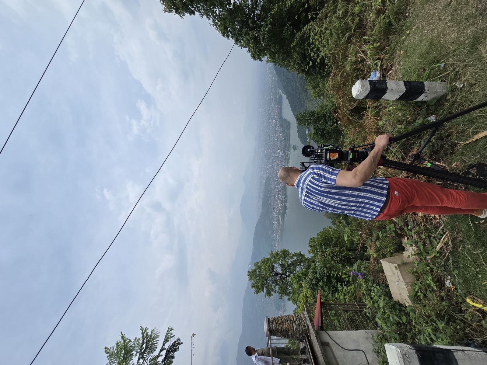
Airspace is often the decisive factor in whether and how aerial filming can proceed, and airport proximity is one of the most sensitive elements within it. Airspace near airports, flight paths, and other aviation-sensitive zones is generally treated with particular care, because a drone in the wrong place there is a genuine hazard to crewed aircraft. Productions sometimes underestimate how far this sensitivity extends around an airport.
When we review a mission, one of the first things we consider is where each intended flight sits in relation to airports and known aviation-sensitive areas. A location that looks straightforward on the ground can carry significant airspace considerations because of what is overhead. Kathmandu in particular concentrates activity, and flights in and around the valley may need to account for airspace factors that would not arise in a remote setting.
We do not assert specific distance thresholds, altitude ceilings, or clearance procedures as fixed fact, because these depend on current aviation rules and on the exact coordinates of your flights. What we do is help you identify, early, which of your intended locations are likely to raise airspace questions, so that those flights can be planned with realistic expectations and, where needed, alternatives can be considered before you commit your schedule to them.
The practical takeaway is that airspace should be part of location scouting, not an afterthought. A shot that depends on flying close to an airport approach is inherently more complex than one over open countryside, and knowing that in advance lets you decide whether the shot is worth the added planning or whether a different angle achieves the same creative goal with far less friction.
Protected areas, national parks, and conservation zones
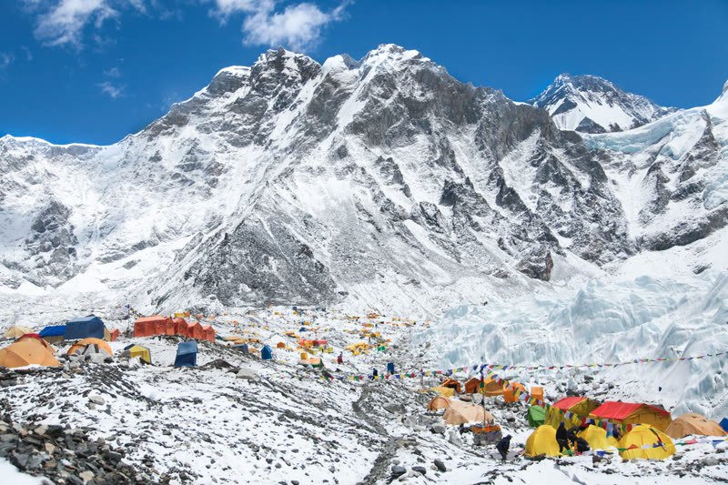
Some of Nepal's most compelling aerial imagery lies over exactly the places where flying is most sensitive: national parks, conservation areas, and other protected natural environments. Aerial work in these settings frequently involves considerations beyond general airspace, because the drone's effect on wildlife, on the natural setting, and on other visitors becomes part of what matters.
Where a flight is planned over or near a protected area, there may be an additional custodian or managing body whose permission or coordination is relevant, separate from any general flight or film approval. Which body applies depends on the specific area, and we confirm that against current sources rather than naming a single authority here as settled. The presence of wildlife often introduces further sensitivity, since the sound and movement of a drone can disturb animals, and low or intrusive flying may be viewed unfavourably even where flying in principle is possible.
We help productions map their intended aerial locations against these sensitivities early, so that a shot planned over a protected landscape is understood for what it is: a request that may need its own coordination and that is unlikely to be granted casually. We do not promise access to any protected area, and we do not assert that a particular flight will be allowed.
Planning aerial work in these settings also means being honest about restrictions on how you fly, not just whether you fly. Altitude limits, distance from wildlife, and time-of-day considerations can all shape what is realistic. Building these into your plan from the start produces a request that reads as responsible and considered, which is the posture most likely to be received well.
Heritage and cultural sites from the air
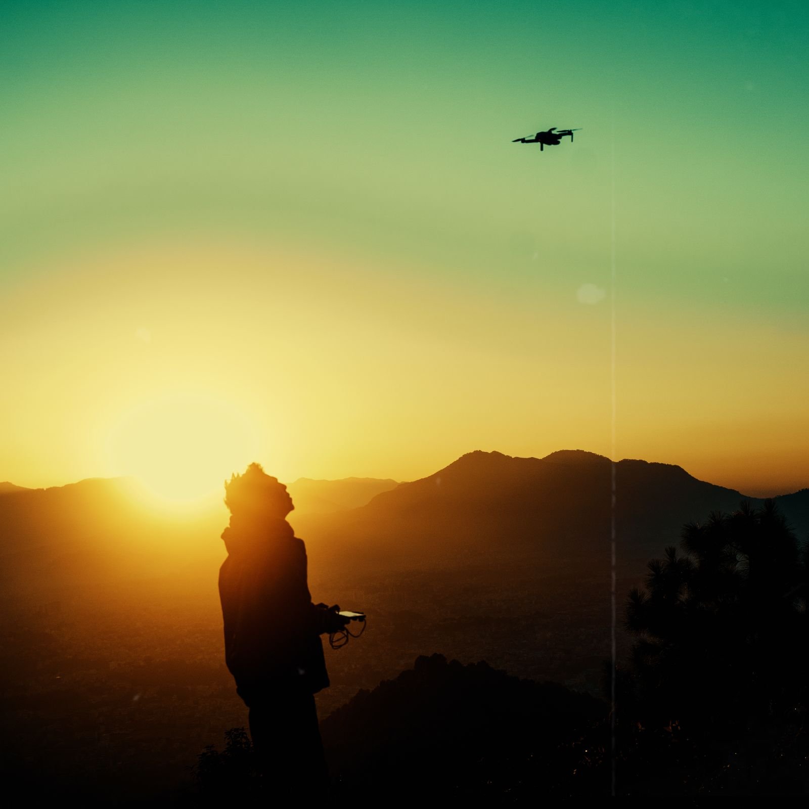
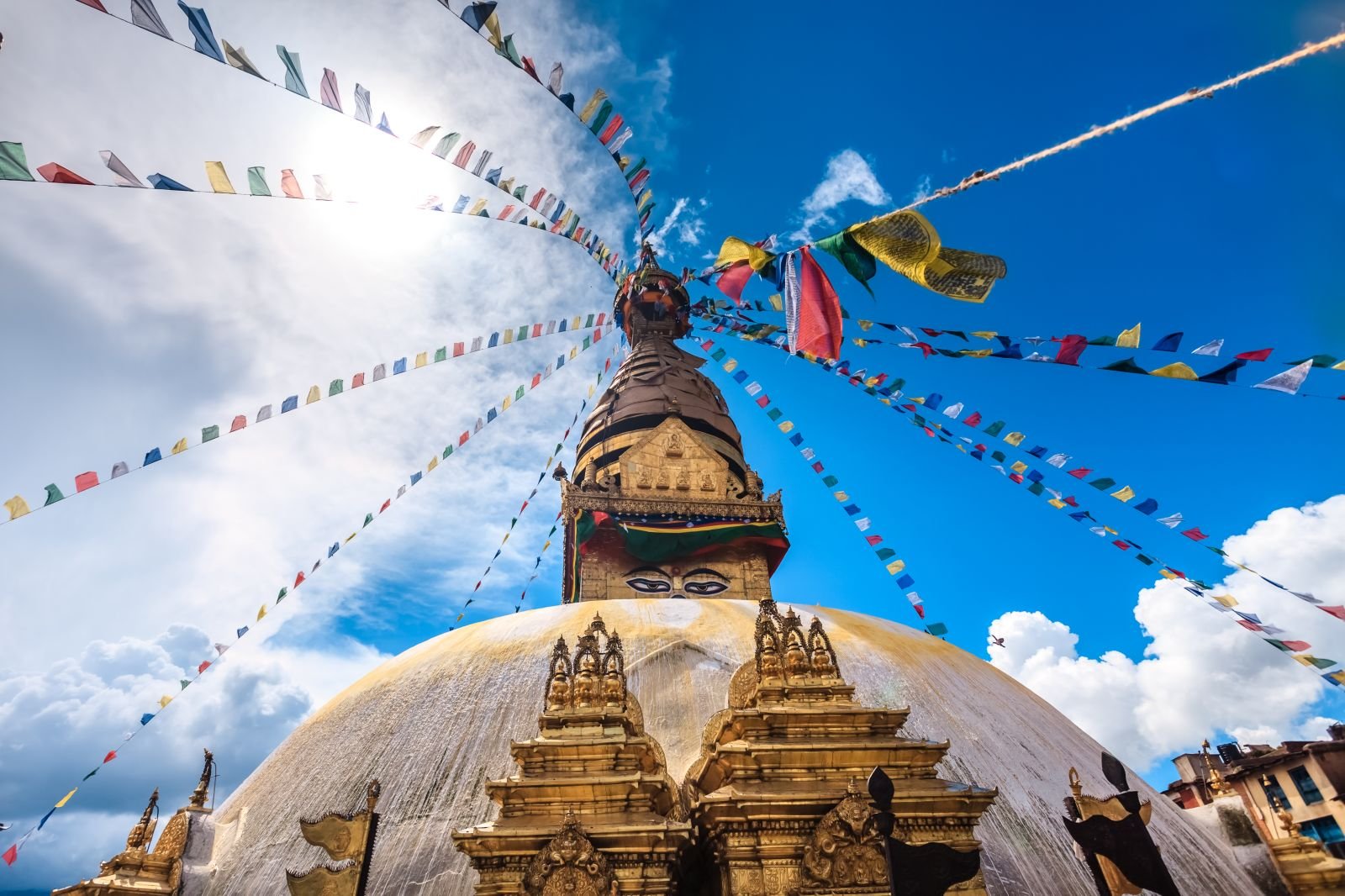
Nepal's heritage and religious sites carry cultural and spiritual significance that aerial filming can easily intrude upon, and flying above them is a distinct consideration from flying above open ground. A drone over a temple, a monument, or a place of worship is visible, audible, and potentially disruptive to people below, and the custodians of such places often have strong views about aerial activity regardless of the general airspace position.
Where your creative plan calls for aerial shots of heritage or religious locations, we treat those flights as needing their own attention. There may be a custodian, institution, or managing body whose consent or coordination matters, and cultural protocol may shape whether, when, and how a flight is acceptable. A ceremony in progress, a moment of worship, or simply the ordinary use of a sacred space can all make aerial filming inappropriate even where it might be possible at another time.
We help productions identify these locations in advance and think through the respectful way to approach them, including whether the shot truly needs a drone or whether a ground-based alternative would honour the setting better. We do not assert which body controls a given site as fixed fact, and we do not promise that any heritage flight will be permitted. What we ensure is that these sensitive flights are raised deliberately and early, framed with the care such places deserve, rather than being treated as ordinary aerial work and causing offence or refusal on the day.
Imported drone versus locally sourced drone
One of the earliest and most consequential decisions in aerial planning is whether to bring your own drone across the border or to source one locally in Nepal. Each path carries a different set of considerations, and the right choice depends on your production, your budget, and how much aerial work your schedule demands.
Bringing your own aircraft gives you a known, trusted piece of equipment and a pilot familiar with it, but it adds a customs dimension. An imported drone is equipment crossing a border, which typically means it must appear on your equipment and customs documentation and be accounted for on entry and, usually, on re-export. Batteries add a further wrinkle, since lithium batteries are subject to transport and handling considerations of their own. We help you make sure an imported drone is described consistently across your aerial request, your equipment list, and your customs paperwork, so the same aircraft is recognisable in every document.
Sourcing a drone locally can sidestep some import complexity, but it introduces its own questions about the aircraft's specifications, the operator provided with it, and how that arrangement is documented for your aerial request. A locally provided drone is only useful if its details and its operator's credentials can be presented as cleanly as your own would be.
We do not promise customs clearance for any imported aircraft, and we do not assert import charges or procedures as fixed fact. Our role is to lay out the trade-offs clearly and to make sure that whichever path you choose is documented coherently, so the decision is made deliberately rather than defaulted into and then regretted at the border or on location.
- Imported drone: known equipment and pilot, but adds customs and re-export documentation
- Battery transport and handling considerations for imported aircraft
- Local drone: less import complexity, but the aircraft and operator must still be documented cleanly
- Consistent description of the aircraft across aerial, equipment, and customs paperwork
Insurance and liability for aerial work
Aerial filming concentrates risk in a way ground filming usually does not, because a drone can fall, and where it falls may be over people, property, wildlife, or sensitive sites. For that reason, insurance and a clear account of liability are commonly part of a credible aerial request, and they are worth arranging deliberately rather than assuming existing production cover extends to flying.
We help productions think through whether their aerial operations are actually covered by the insurance they hold, and whether that cover is described in a way a reader can rely on. Cover that names the aircraft, the operator, and the nature of aerial work tends to be more convincing than a general policy that mentions none of these. Where your insurance documentation and your aerial request describe the same aircraft and operator consistently, the whole package reads as coherent and considered.
We do not provide insurance, and we do not assert that any particular level or type of cover satisfies a specific requirement, because that depends on the applicable rules and on what your locations demand. What we do is flag insurance as a component to confirm early, and help ensure that when you present it, it aligns with the rest of your aerial documentation rather than contradicting it.
Thinking about liability also means thinking about who is responsible if something goes wrong, and how that responsibility is shared between your production and any operator you engage. Settling this in advance, in writing where appropriate, is part of operating responsibly and part of presenting a request that takes the risks of flying seriously.
Mission-document checklist
Bringing the preceding sections together, a well-prepared aerial mission usually rests on a recognisable set of documents. Assembling these as a single, coherent package, rather than gathering them reactively as questions arise, is the difference between a smooth aerial request and a drawn-out one. The exact contents depend on your locations and activities, which is why we build the checklist around your specific mission rather than applying a fixed template.
The core of the package is the aircraft description, the operator credentials, and the flight plan, tied to your underlying film permit position. Around that core sit the supporting materials: location-specific permissions where flights are over sensitive ground, insurance documentation that names the aerial work, and, for imported aircraft, the equipment and customs records that account for the drone crossing the border. Where protected, heritage, or airport-adjacent areas are involved, the checklist expands to include the additional coordination those settings call for.
We do not present this checklist as an official list of statutory requirements, and we do not assert that a specific document guarantees approval. It is a preparation tool, drawn from how aerial requests are commonly assessed, and its purpose is to make sure nothing that a reader is likely to want is missing when your request is submitted.
- Aircraft records: model, serial, weight, dimensions, payload, power
- Operator details and genuine qualifications for each pilot
- Location-anchored flight plan with dates, altitudes, and purpose
- Underlying film permit status confirmed and consistent
- Location permissions for sensitive, protected, or heritage flights
- Insurance documentation that reflects the aerial operation
- Customs and equipment records for any imported aircraft
Non-drone alternatives worth considering
Not every aerial shot needs a drone, and part of responsible planning is being honest about when the friction of flying outweighs the benefit. Where a location is airspace-sensitive, culturally significant, or simply difficult to fly over, an alternative approach can deliver a comparable result with far less complexity, and considering these options early can protect both your schedule and your budget.
Several alternatives are worth keeping in mind. Elevated ground positions, high vantage points, and existing structures can offer sweeping perspectives without any aircraft in the air. Camera cranes, jibs, and stabilised long-lens setups can achieve movement and height in controlled ways. In some cases, existing licensed aerial footage or established observation points can stand in for a bespoke flight. Each of these avoids the airspace, location-sensitivity, and customs questions that a drone raises.
We raise these alternatives not to discourage aerial work, which is often exactly the right creative choice, but to make sure a drone is a deliberate decision rather than a default. When a shot genuinely needs a drone, the added planning is worth it. When a shot could be achieved another way, knowing that in advance lets you weigh the creative gain against the planning cost with clear eyes.
We do not decide your creative approach for you. What we do is make sure you understand the trade-offs, so that if a particular flight turns out to be complex or uncertain, you already know whether an alternative could carry the scene and your production is not left without a fallback.
Illustrative mission scenario
The following scenario is an illustration only. It does not describe a real client, and it is offered to show how the pieces of aerial planning fit together, not to represent any specific outcome or timeline. Any resemblance to a particular production is coincidental, and nothing here should be read as a promise of what your mission will involve.
Imagine a foreign documentary team planning a series of aerial shots across three settings: an open valley, a stretch near a busy town, and a landscape bordering a protected natural area. On the surface these feel like a single aerial task. In practice they separate into three quite different requests. The valley flight is relatively contained, resting mainly on clean aircraft and operator documentation and a clear flight plan. The town flight raises airspace questions because of what lies overhead and nearby, and needs to be examined for proximity to aviation-sensitive zones before the team commits to it. The protected-area flight introduces an additional custodian dimension and wildlife sensitivity, and may call for coordination well beyond the general aerial request.
In a case like this, the value of early preparation is that the three flights are recognised as distinct from the outset. The team can proceed with confidence on the straightforward valley work while the more sensitive flights are examined, rather than discovering on location that the whole aerial plan was treated as one undifferentiated request and stalling on the hardest element.
The illustration also shows why we never promise a uniform result. Three flights in one production can sit in three different positions, and honest planning means naming that rather than implying a single approval covers them all. The lesson generalises: break aerial work into its real components early, and plan each on its own terms.
How the drone-support review works
Our engagement on aerial work follows a calm, document-oriented sequence designed to surface complications early, while there is still time to plan around them. It begins when you send us your intended aircraft, your operator details, and, crucially, the specific locations where you want to fly. Those locations drive almost everything that follows, which is why we ask for them at the start rather than treating them as a detail.
From there, we map each intended flight against the considerations described on this page: airspace and airport proximity, protected and heritage sensitivity, and the import position of your aircraft. We identify which flights are straightforward and which are likely to need additional coordination, and we tell you plainly where uncertainty sits rather than papering over it. We then help you assemble the aircraft, operator, flight-plan, insurance, and, where relevant, customs documentation into a coherent package, checking that the same aircraft and operator are described consistently throughout.
What we do not do is equally important. We do not issue permits, grant flight permission, guarantee airspace access, or clear equipment through customs. We do not assert specific fees, durations, or a single named issuing authority as settled fact, and we confirm the regulatory specifics that apply to your mission against current official sources as part of the review. We do not promise that any flight will be approved.
Throughout, we handle your documents with care and confidentiality, and we keep our advice conditional wherever the underlying rules are location-dependent or subject to change. The aim is a request that is complete, honest, and easy to assess, prepared early enough that a complication on one flight does not derail your entire schedule.
| Element | Why it matters | What we help you prepare |
|---|---|---|
| Aircraft records | A clear description of what will be in the air is central to any aerial request | A consistent inventory of model, serial, weight, dimensions, payload, and power for each drone |
| Operator credentials | The person flying, and their genuine experience, form part of how safety is judged | Organised pilot identity, nationality, and authentic qualifications, without embellishment |
| Flight plan | Location, altitude, timing, and purpose let a reader assess the specific operation | A structured, location-anchored description translated from your creative brief |
| Airspace and airport proximity | Flights near airports and aviation-sensitive zones carry particular sensitivity | Early mapping of which flights are likely to raise airspace questions |
| Protected and heritage areas | Wildlife, cultural, and spiritual sensitivities can add custodian coordination | Identification of sensitive overflights and the coordination they may need |
| Import position | An imported drone adds customs and re-export considerations | Consistent aircraft description across aerial, equipment, and customs paperwork |
| Insurance | Aerial work concentrates risk and benefits from cover that reflects it | A check that your cover names the aircraft and operation and aligns with other documents |
Aerial mission planning: what each element covers, why it matters, and how we help. This is a preparation aid, not a statement of official requirements, fees, or durations.
What this includes
- Building a consistent aircraft inventory for each drone in your kit
- Organising genuine operator and pilot credentials for presentation
- Translating your creative aerial brief into a structured, location-anchored flight plan
- Mapping intended flights against airspace, airport proximity, and location sensitivity
- Flagging protected-area, heritage, and religious-site flights that may need extra coordination
- Coordinating the aircraft description across aerial, equipment, and customs documents for imported drones
- Assembling a coherent mission-document package and checking it for internal consistency
- Confirming which regulatory specifics apply to your mission against current official sources
- Advising on non-drone alternatives where a flight is complex or uncertain
What this does not include
- Issuing film permits or any drone or flight permission
- Granting or guaranteeing airspace access or clearance to fly
- Registering aircraft on your behalf or promising that registration is possible
- Clearing drones, batteries, or other equipment through customs
- Asserting specific government fees, charges, processing times, or exact timelines
- Naming a single issuing authority as the settled decision-maker for your mission
- Providing insurance or certifying that a given policy satisfies a requirement
- Providing legal advice or guaranteeing any approval outcome
Frequently asked questions
No. A general film permit and drone permission are commonly assessed as separate matters, potentially by different offices and against different criteria. Holding a permit for ground filming does not, on its own, authorise aerial operations, because a flying camera raises additional questions about airspace, safety, and location sensitivity. We help you address the aerial layer deliberately rather than assuming it is covered, and we never promise that one approval guarantees the other.
Which authorities are relevant depends on your specific flights, because airspace, protected areas, and heritage sites can each bring their own considerations and coordinating bodies. We do not name a single office as the settled decision-maker for every mission, since that would risk stating something as fixed when it depends on your locations and current rules. During your review we confirm the applicable authorities against current official sources, so you plan against reality rather than a generic assumption.
Whether registration applies to your particular aircraft, and what form it takes, depends on current rules and on your drone's specifications, and we confirm that against official sources rather than stating it as fixed here. What we recommend regardless is preparing as though registration-style information may be needed, because assembling accurate aircraft records, operator details, and ownership information early costs little and saves time if it turns out to be required. We do not promise that any aircraft can or cannot be registered.
Airspace near airports and flight paths is generally treated with particular care, because a drone there can be a genuine hazard to crewed aircraft, and that sensitivity often extends further than productions expect. We do not assert specific distances or ceilings as fixed fact, since these depend on current aviation rules and your exact coordinates. What we do is identify early which of your intended flights sit near aviation-sensitive areas, so you can plan realistically or consider alternatives before committing your schedule.
The most important inputs are your aircraft details, your operator details, and the specific locations where you intend to fly, because those locations drive almost every other consideration. Aircraft details include model, serial number, weight, dimensions, payload, and power source, while operator details cover the pilot's identity, nationality, and genuine qualifications. With the locations in hand, we can map each flight against airspace, protected-area, and heritage sensitivities and tell you where complications are likely to sit.
Each path has trade-offs. Bringing your own aircraft gives you known equipment and a familiar pilot but adds a customs dimension, including battery handling and re-export documentation, and the drone must appear consistently across your aerial, equipment, and customs paperwork. Sourcing locally can reduce import complexity but raises its own questions about the aircraft's specifications, the operator provided, and how that arrangement is documented. We lay out the trade-offs so you decide deliberately, and we do not promise customs clearance for any imported aircraft.
Aerial work over protected natural areas often involves considerations beyond general airspace, because the drone's effect on wildlife and on the setting becomes part of what matters, and there may be an additional custodian whose coordination is relevant. Which body applies depends on the specific area, which we confirm rather than asserting here. We help you identify these sensitive overflights early and plan them honestly, but we do not promise access to any protected area or that a particular flight will be allowed.
Flying above heritage and religious locations is a distinct and sensitive matter, because a drone is visible and audible to people below and may intrude on worship, ceremony, or the ordinary use of a sacred space. There may be a custodian or institution whose consent and cultural protocol shape whether, when, and how a flight is acceptable. We treat these flights as needing their own deliberate attention, and we often help you weigh whether a ground-based alternative would honour the setting better. We do not promise that any heritage flight will be permitted.
Aerial work concentrates risk, so insurance and a clear account of liability are commonly part of a credible aerial request, and it is worth confirming early whether your existing production cover actually extends to flying. Cover that names the aircraft, the operator, and the nature of aerial work tends to read as more reliable than a general policy that mentions none of these. We do not provide insurance or certify that a given policy satisfies a specific requirement, but we help ensure your insurance documentation aligns with the rest of your aerial package.
As early as possible, because aerial requests can involve airspace considerations and location-specific sensitivities that are far easier to address before your schedule is locked than after. Raising drone work late, as a same-day add-on to ground filming, is a frequent cause of avoidable delay. We do not state specific processing durations as fact, since these depend on your mission and current conditions, but planning early gives you room to adjust if a particular flight turns out to be complex.
This is a realistic outcome, because different flights in the same production can sit in very different positions depending on airspace and location sensitivity. A straightforward flight over open countryside and a flight near an airport or a protected area are genuinely different requests. Planning each flight on its own terms, and knowing where the uncertainty sits, lets you proceed with confidence on the clear flights while the sensitive ones are examined, rather than staking your whole aerial plan on a single undifferentiated request.
No, and we would be misleading you if we claimed otherwise. We are an independent private support service, not an issuing authority, and we do not grant flight permission, guarantee airspace access, or clear equipment through customs. What we guarantee is careful preparation: a coherent, honest, internally consistent aerial package, an early read on where complications are likely, and advice grounded in current official sources rather than assumption. The decision on whether you may fly rests with the relevant authorities and custodians.
That is often a sensible conclusion, and we help you reach it with clear eyes rather than discovering it on location. Where a flight is airspace-sensitive, culturally significant, or simply difficult, alternatives such as elevated ground positions, high vantage points, camera cranes, or stabilised long-lens setups can deliver a comparable result without the airspace, location, and customs questions a drone raises. We do not decide your creative approach, but we make sure you understand the trade-offs so a drone is a deliberate choice and you are never left without a fallback.